Navigate the physical and human world with the rich PG TRB Geography syllabus, including Geomorphology, Climatology, Human Geography, Cartography, and Remote Sensing.
Professor Academy offers detailed, unit-wise preparation to build strong academic grounding.
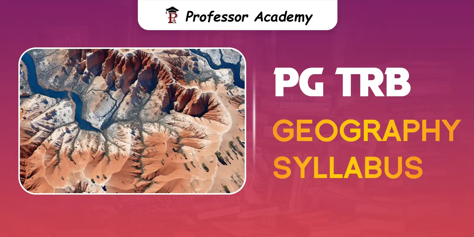
Explore the complete PG TRB Geography syllabus now.
Geomorphology:
The origin of Earth: Gaseous Hypothesis of Kant, Nebular Hypothesis of Laplace, The Nova Hypothesis of Hoyle and Lytleton – The Age of Earth: Sedimentation method, Radioactivity method. The Earth’s Interior: Layers of the earth interior: The Crust, Mantle, Core, Thickness and depth of different layers of the Earth, Distribution of continents and Oceans – Plate tectonics and continental drift – Rocks: Definition and classification: Igneous Rocks, Sedimentary rocks, Metomorphic rocks – Mountain Building Process: Volcanoes, Earthquakes, Mountains, Plateaus and Plains, Geomorphic processes – Denudational Agencies, Cycle of erosion: Davis and Penck, Theories and process of slope development.
Climatology:
Composition and Structure of Atmosphere, Solar Radiation, Heat Budget of the Earth and Atmosphere. Distribution of Temperature: Vertical, Horizontal distribution of temperature, Temperature Inversion – Atmospheric Pressure: factors affecting Atmospheric Pressure – Distribution of Atmospheric Pressure, Wind: Types of winds – Monsoon winds, Area of monsoon winds, the Indian monsoon, Jet stream, kinds of Humidity – Clouds: formation of clouds, classification of clouds, Precipitation: types of rainfall, Air masses: classification of air masses, Fronts – frontal zones, major fronts, Cyclones: Cyclones and Anticyclones, classification of thunderstorms – Climatic classification: Koppen and Thornthwaite – Climate change: Cause and effects of climate change – Global warming, Effect of El-Nino, La Nina.
Oceanography:
Distribution of Water and Land, Relief of the Ocean: Continental shelf, Continental slope, Continental rise, Mid Oceanic Ridges, Abyssal plain Island, Guyots and seamounts, Ocean deeps and Oceanic trenches – Bottom Relief of the Ocean floors: Pacific, Atlantic, Indian Ocean, Ocean temperature, Ocean salinity and density of Ocean water – Ocean deposits – Sea waves – Ocean currents: Major Ocean currents – Tides – Sea level changes – Tsunami – Coral reefs.
Population Geography:
Sources of population data in India – Population: Distribution, Density and Growth, world population distribution, factors affecting population distribution, density patterns – measures and determinants of fertility, mortality – World’s population growth and its trend – Theories of population growth: Malthus, Sadler and Ricardo – Migration: types of migration, causes of migration, consequences of migration, Population composition and characteristics: Age, Sex, Rural-urban, Occupational structure and educational levels and literacy – Population of Tamilnadu: Population, Distribution, Density and Growth, Optimum population – Over population, Under population – Potential population, Population policies.
Settlement Geography:
Geography of settlements: Nature and Scope of Settlement Geography – Rural Settlements: Types, Pattern and distribution of rural settlements – Problems of Rural Settlements: Rural-Urban Migration, land use changes, Land acquisition and Transactions; Urban Settlements: Theories of origion of Towns (Gordon Childe, Henri Pirenne, Lewis Mumford) – Characteristics and process of urbanisation in Developed and developing countries – Urban settlements: concept and characteristics – Functional classification of urban centres – functions and characteristics of CBD – Urban morphology – Urban Classical models: Burger, Homer Hoyth and Harris Ullmann – Rural-Urban fringe – hierarchy of urban centres – Rank size rule – Central Place Theory – Urban problems – Slums – Urban planning – Urbanisation in India and its associated problems.
Agricultural Geography:
Nature, Scope and significance of Agricultural geography – Approaches to study of Agriculture geography – Land Capability, Classification and land use planning Determinants of Agriculture – Von Thunen’s Theory of agriculture location Agricultural productivity – crop combination (weaver’s, Doi’s, Raffiullah’s), Crop diversification, Types of Crops: Food crops, Horticultural crops – Plantation crops, Fibre crops – Agricultural Systems of the world – Agricultural regions of India – Agricultural regions of Tamilnadu, Role of Remote sensing in Agricultural Studies.
Urban Geography:
Nature and scope of urban Geography – trends of urbanisation – size, structure and functions of urban areas – urban systems: law of primate city and rank size rule – Center Place theories: Christaller and bosch – Internal structure of the city – Models of urban land use: Burgess, Harris, Ullman and Homer Hoyt – Concept of cities: Mega cities, Global cities, edge cities – Changing urban form: peri-urban areas, rural – urban fringe – Sub-urban, ring and satellite towns – social segregations in the city – urban social area analysis – Urban issues: slums, in formal sectoral growth, crime and social exclusion.
Transport Geography:
Nature, scope and significance of transport Geography – Different types of transportation – Merits and demerits of transport – Terminal charges and operating charges – Tapering cost structure – Variation in freight structure on distance – Commodity – Size and elasticity of demand – Long haul advantages – Nodes and links – Connectivity – Accessibility – Centrality – Structural analysis of transportation network – Graph theoretic measures – Measures of nodal accessibility – Matrix measures – Detour index – Theories of spatial interaction – Gravity model – Transportation and spatial structure – Role of transport in socio-economic integration – Urban and regional transport planning – Problems of transport.
Cultural Geography:
Concept of cultural – Evolution of Human beings – Major Races of the World – Culture interaction and diffusion – Culture exchange – Measurement of Human Development: Social, Economic and Environmental Indicators – Human Development Index.
Social Geography:
Nature and scope of social geography – Environmental and landscope ecology – Social structure (family, marriage and kinship) and processes – Rural and urban society – spatial distribution of ethnicity – Tribe – Dialect – Language – caste and religion in the world with special reference to India – welfare and social well being – Quality of life – Health – Education, Economic Status – Gender – well being of women – Spatial distribution of social groups in India – Health care planning and policies in India.
Economic Geography:
The significance of Economic Geography – Factors affecting spatial organisation of economic activities – Natural resources: Classification of Resources – Renewable and non – renewable resources – Distribution and associable problems conservation of resources – Industries: Agro based Industries – Mineral based Industries – Engineering – Industries – Chemical industries – Industrial regions of the world – Trade blocs – Major importing and exporting countries – World Energy crisis in developed and developing countries.
Political Geography:
Trends and development in political Geography – Geography of federation – Boundaries and frontiers of India – Electoral reforms in India – Geopolitics: climate clange, world resources and Indian Ocean – Regional organisations of co-operations: SAARC, ASEAN, OPEC and EU – Neopolitics of world natural resources – India’s Foreign Policies.
Contributions of Greek, Romans, Arabs, German, French, British, America and Indian scholar in geography – Contemporary trends in Indian geography: Cartography, Thematic and Methodological contributions – Major Geographic Traditions: Earth science, Man and Environment relationship, Area studies and spatial analysis – Dualism in Geographical studies: physical vs human, region vs systematic, qualitative vs quantitative – Paradigm shift in Geography – Perspectives in Geography: Positivism, Behaviouralism, Humanism, Feminism and Post modernism.
Definition of region – Evolution – Types of region – Formal and functional region – Planning region – Need and types of regional planning – Characteristics and ideal planning region – Delimitation of planning region – Regionalisation of India for planning – Theories and models of regional planning – Growth pole model of perroux, growth centre model in Indian context myrdal, rostow and Friedman – Village cluster – Changing concept of development – Concept of under development – Efficiency – Explicity – Indicators – Economic, social and environment – Global pattern of development – Inter-regional variation of human development – International – Interstate comparision of India – Geospatial technology of regional planning.
Natural Resource: Concept, Classification and Techniques – Distribution, Utilisation of resources – Problems and Management of Land Resources and Water Resources – Distribution, Utilisation, Problems and Management of Forests and Energy Resources – Appraisal and Conservation of Natural Resources – Sustainable Resource Development – Concepts and definitions of Disaster and Natural Hazard – Disaster: Disaster Management Cycle – Basic Concepts of Disaster Risk Reduction (DRR) – Hazards: Hazard types and hazard mapping – Vulnerability: types and their assessment – physical, social, economic and environmental vulnerability – Disaster Risk Assessment – approaches and procedures for disaster management.
Nature and scope of Environmental Geography – Concept of an Ecosystem – Structure and function of an Ecosystem – Ecosystem: Types of ecosystem – Forest, Grassland, Desert, Aquatic Ecosystem – Ecological succession – Energy flow in an ecosystem – Biogeochemical Cycle: Carbon, Nitrogen, Oxygen, Phosphorus and sulphur cycle – Food Chain, Food web, Ecological pyramid – Biomes: Major Biomes of the world: Tundra Biome, Temperate forest biome, Coniferous forest biome, Temperate Grassland biome, mediterrranean biome, Savanna biome, Tropical Evergreen Rainforest biome, Monsoon Deciduous forest biome, Desert biome – Biodiversity: Hotspots of biodiversity – Threats to biodiversity: Habitat loss, poaching of wildlife, Man-wildlife conflicts – Endangered species of India – Conservation of biodiversity: In situ and Ex situ Conservation of biodiversity – hydrological cycle – International programmes and policies – Environment policy of India.
Nature and scope of Environmental Geography – Concept of an Ecosystem – Structure and function of an Ecosystem – Ecosystem: Types of ecosystem – Forest, Grassland, Desert, Aquatic Ecosystem – Ecological succession – Energy flow in an ecosystem – Biogeochemical Cycle: Carbon, Nitrogen, Oxygen, Phosphorus and sulphur cycle – Food Chain, Food web, Ecological pyramid – Biomes: Major Biomes of the world: Tundra Biome, Temperate forest biome, Coniferous forest biome, Temperate Grassland biome, mediterrranean biome, Savanna biome, Tropical Evergreen Rainforest biome, Monsoon Deciduous forest biome, Desert biome – Biodiversity: Hotspots of biodiversity – Threats to biodiversity: Habitat loss, poaching of wildlife, Man-wildlife conflicts – Endangered species of India – Conservation of biodiversity: In situ and Ex situ Conservation of biodiversity – hydrological cycle – International programmes and policies – Environment policy of India.
Major physiographic Regions and their Characterstics – Drainge system – Indian Monsoon – Soil – Vegetation – Water – Mineral and Marine Resources Regional variation in Agricultral Development – Population characteristics – Growth and Composition – development population – population policies in India – Development and Pattern of Transport – Internal and External Trade – Regional Development planning in India – Trade policy – Export Processing zones – India Space programme – Natural Disasters in India.
Tamil Nadu: Location – Administrative units of Tamil Nadu – Physiography: Mountains, Plateaus, Plains – Climate: Seasons (South West, North East Monsoon, summer and winter) – Rainfall: Cyclonic Rainfall – Distribution of Rainfall – Rivers of Tamil Nadu – Soils: Types of Soil – Natural Vegetation: Forest and its types – Flora and Fauna – Wild life sanctuaries – Bird sanctuaries – Botanical gardens. Distribution of Crops: Food Crops: Paddy, Millets, Pulses, Oilseeds – Cash Crops: (Sugarcane, Cotton) – Plantation Crops (Tea, Coffee, Rubber and Spices) – Livestock (cattle, sheep and dairying) – Fisheries (inland and deep sea fishing). Distribution of Minerals and Industries: Metallic, Non-Metallic (Iron, Manganese, Bauxite, Copper, Mica, Illuminate and power resources) – Agro Based Industries – (Textile, Sugar, Paper) – Cement – Automobile – Population: Distribution – Growth, Density and Population Problems – Transportation: Roadways, Railways, Airways, Waterways Trade: (Import and Export) – Special Economic Zones.
Nature and scope of cartography – Maps: History and definition of maps – classification of maps – Scope and types of scale – Map projection: Meaning, definition, shape, distance, area and direction properties – classification of projections – Selection of projection – Map compilation and design: Base map concepts, scanning and digitization – Topographic and thematic maps – elements of maps and layouting principles – Map design: fundamental symbol, conventional signs, color theory, colors or patterns, Map lettering – Map making: Definition of Choropleth, Isopleth maps – class interval selection and shading – flow maps – cadastral maps – Demographic and statistical mapping – Map reproduction – Map printing – Printing standard in various medium.
Definition of Remote Sensing – Advantages and limitations in remote sensing – Remote Sensing System – Platforms and sensors – Resolutions in remote sensing – Satellite data products: Analog and digital products – Visual Image Interpretation – Digital Image Processing: Pre-processing, post-processing, Digital Image Interpretation: Supervised and unsupervised classification – Change deduction analysis – Basic concepts of Geographic Information System (GIS) – Components of GIS – Data Models in GIS: Relational and entity relational model – Data structure: Raster and Vector – Data requirement – Methods of data capturing – Meta data – Raster and Vector Query – Geographic visualization – Data analysis – Geo statistical analysis.
Enrol Now: https://professoracademy.com/courses/pg-trb-geography/
Contact: +91 7070701005 / +91 7070701009
Hi!